This website uses cookies so that we can provide you with the best user experience possible. Cookie information is stored in your browser and performs functions such as recognising you when you return to our website and helping our team to understand which sections of the website you find most interesting and useful.
New Jesuit Schools Global Network Map
Have you ever wondered if there is a map that is accurate or which projection of our globe is the most accurate?
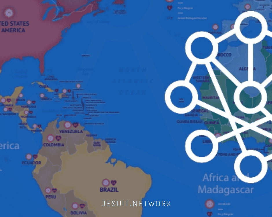
We are delighted to make available the 2022 Printable Map of our Jesuit Global Network of Schools (JGNS). This updated version features several changes, in terms of school lists for the different Regional School Networks, updated numbers for students and staff, new data for the Jesuit Refugee Service (JRS) and Fe y Alegria schools and Educational Projects, and the addition of an asterisk to mark companion schools. You can download the maps in large and small sizes.
The Global Maps on this page encompass the world of Education from the six Jesuit Conferences- from kindergarten schools to universities and include the Schools and Educational Projects of the two other important Jesuit education networks of Fe y Alegría and the Jesuit Refugee Service (JRS).
The two types of Maps found on this page the “Jesuit Universities and Schools Map” and the “Secondary and Pre-secondary Schools Maps ” show the richness and diversity of the global network.
The Combined Map includes the Jesuit and Ignatian higher education institutions and the secondary and presecondary education schools that belong to the regional Jesuit Conference Education Networks. For a list of University Networks and Institutions please click here. For a list of Jesuit Schools check out the Large Printable Map (below) or the School Profiles page here.
These maps are based on the Winkel Tripel projection. They have been designed with a “vector technology” (PDF and EPS) so that they can be printed in high quality in virtually any size to best suit your purpose.
Source: Educate Magis


